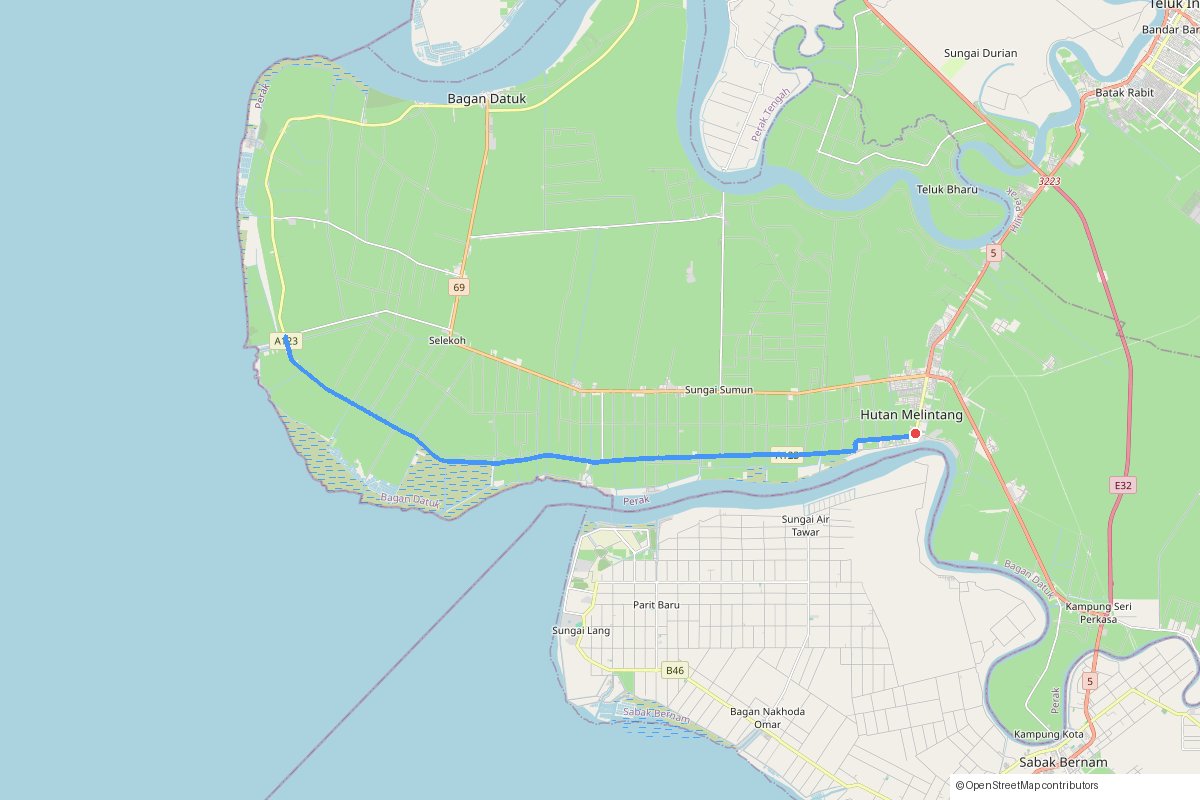
Hutan Melintang to Sungai Tiang 55K
easy road ride-videozone-2
Distance
55km out-and-back
Elevation
81m
Region
Hilir Perak, Perak
Start point
Hutan Melintang town
Surface mix
100% paved
Highlights
- Almost completely flat: about 80m of climbing over 55km
- Quiet roads through the Hilir Perak coastal plain
- Several Strava segments to test yourself on the way out
Local knowledge
Practical things you'll want to know before riding.
Notes
- Expect wind: on our ride it was a strong headwind all the way out to Sungai Tiang.
- Bus stop shelters along the road are handy if the rain catches you.
- The first and last kilometre are trimmed from the GPX for privacy.
We rode this on 6 November 2026 as an easy zone 2 ride with a friend. The rain started as we did, the headwind made the way out tiring, we waited 30 minutes at a bus stop shelter in Sungai Tiang, and the ride back was very wet.
Get the GPX for this route
Free. Join our weekly email of cycling events in Malaysia and the download appears right away.
message us on InstagramVideo
Get tips for this route
DM us on Instagram, we can help with preparation, logistics, and what to bring.
Message on InstagramEvents in Perak

PCAA@KKCP MTB Challenge 2026
Kuala Kangsar, Perak
mtb
About 40km
Perak
Seri Iskandar Criterium Circuit 2026 (SICC2026)
Kampung Gajah, Perak
road
Criterium on a 1.1km closed circuit
Perak
Janamanjung Fellowship Ride 2026
Lumut, Perak
roadtouring
110km (Teluk Batik → Seri Manjung → Sitiawan → Lambor Kanan → Bota Kanan → Kampung Merbau → Lumut)